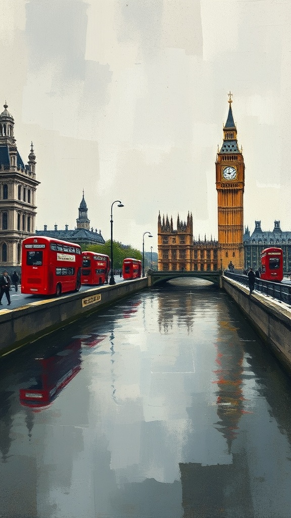
Hidden beneath the pavements and familiar streets of London runs a network of forgotten waterways that helped shape the city’s growth. Known collectively as London’s “lost” or “secret” rivers, these tributaries once fed the Thames, powered mills, defined parish boundaries and supplied fresh water — long before they were culverted, channelled into sewers, or simply built over.
Origins and early influence
Many of these rivers began as small springs and brooks on the surrounding hills. As settlements grew, these watercourses offered practical advantages: fresh water for drinking and brewing, natural defense lines, and convenient sites for mills and tannery operations. During Roman occupation and through the medieval period, rivers such as the Walbrook and the Fleet were prominent features of the urban landscape. Place names, street alignments and parish footprints still echo their courses. Streets with names that reference “fleet,” “bourne,” or “brook” often mark the old waterways’ paths.
Why the rivers disappeared
As the city densified, the advantages of open streams were outweighed by the problems they created. Open water became polluted with household and industrial waste, posing health hazards and foul odours. Repeated flooding threatened property and infrastructure. Urban planners and engineers gradually culverted many rivers, incorporating them into the expanding sewer system or burying them entirely beneath building foundations and streets. A major overhaul of London’s sanitation infrastructure during the Industrial Era accelerated the absorption of these rivers into underground drains, turning once-visible streams into hidden conduits.
Visible traces and archaeological surprises
Even now, fragments of secret rivers surface in unexpected ways. Exposed sections appear where modern excavations or redevelopment projects reveal old channels; archaeological digs can uncover wooden revetments, bridges or water-management structures. Museums and local history walks point out where rivers once ran — and how those waterways influenced the location of markets, churches and defensive earthworks. In several places, the subterranean flows still affect basements and foundations, reminding residents that water continues to move where it always has.
Cultural impact and myths
These hidden rivers have inspired folklore, art and literature. Poets and novelists have used the image of a buried stream as a metaphor for memory and loss, while local legends speak of ghosts, lost wells and whispering currents beneath the streets. Street names, pub signs and historic maps act as cultural signposts to those curious enough to trace a vanished course.
Rediscovery and contemporary interest
There is renewed fascination with London’s secret rivers among historians, urban explorers and conservationists. Guided walks, interactive maps and smartphone apps help people follow the approximate routes, showing how ancient watercourses intersect with modern transport arteries and commercial hubs. Some architects and landscape designers are incorporating daylighting — re-exposing culverted streams — into regeneration projects to restore nature to urban spaces, improve biodiversity and manage stormwater more sustainably.
Why it matters
Understanding these hidden waterways offers more than quaint historical trivia.
It reveals how natural geography shaped social and economic life, explains quirks of the street plan, and highlights long-standing challenges in urban water management. For anyone interested in London’s layered past, tracing a secret river provides a tangible connection between the visible city and the currents that quietly keep running beneath it.
Explore the clues around you: follow a street name, consult a historic map, or join a walking tour — and listen for the faint suggestion of water where only tarmac and stone now lie.